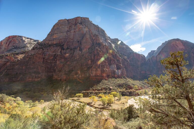
Joshua Tree National Park is one of the most otherworldly landscapes in the entire park system. We first visited back in 2013 and have come back many times since, filming and exploring across every season. The park sits where two deserts collide, and the result is a landscape that looks like another planet.
Joshua Tree National Park Map
7 places to explore — click a pin to learn more
Joshua Tree National Park at a Glance
3 alertsCell service is almost nonexistent. Civilization can only be seen from the highest peaks. If you stay until after dark, you will see one of the most brilliant night skies in the Southwest.
Here are the best things to do in Joshua Tree National Park, organized so you can plan your days without wasting time backtracking.
Joshua Tree spans 1,242 square miles across two distinct desert ecosystems. The $30 entrance fee is good for 7 days. Walk-in or bicycle entry is $15 per person, and motorcycles pay $25. The park is a designated International Dark Sky Park, meaning the stargazing here is world-class.
Things to Know Before Visiting Joshua Tree
- Here’s our favorite guidebook and map for Joshua Tree.
- Lather up the sunscreen. The desert sun is relentless.
- Cell service is spotty to nonexistent. AT&T is rough. Verizon is slightly better. Download offline maps before entering.
- Bring more water than you think you need. The park recommends one gallon per person per day. There are no water sources in the backcountry.
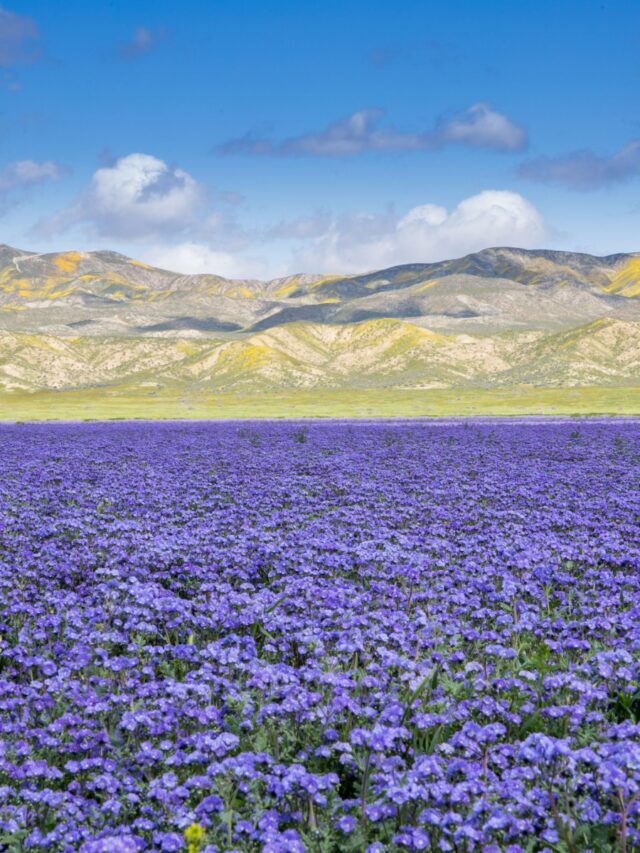
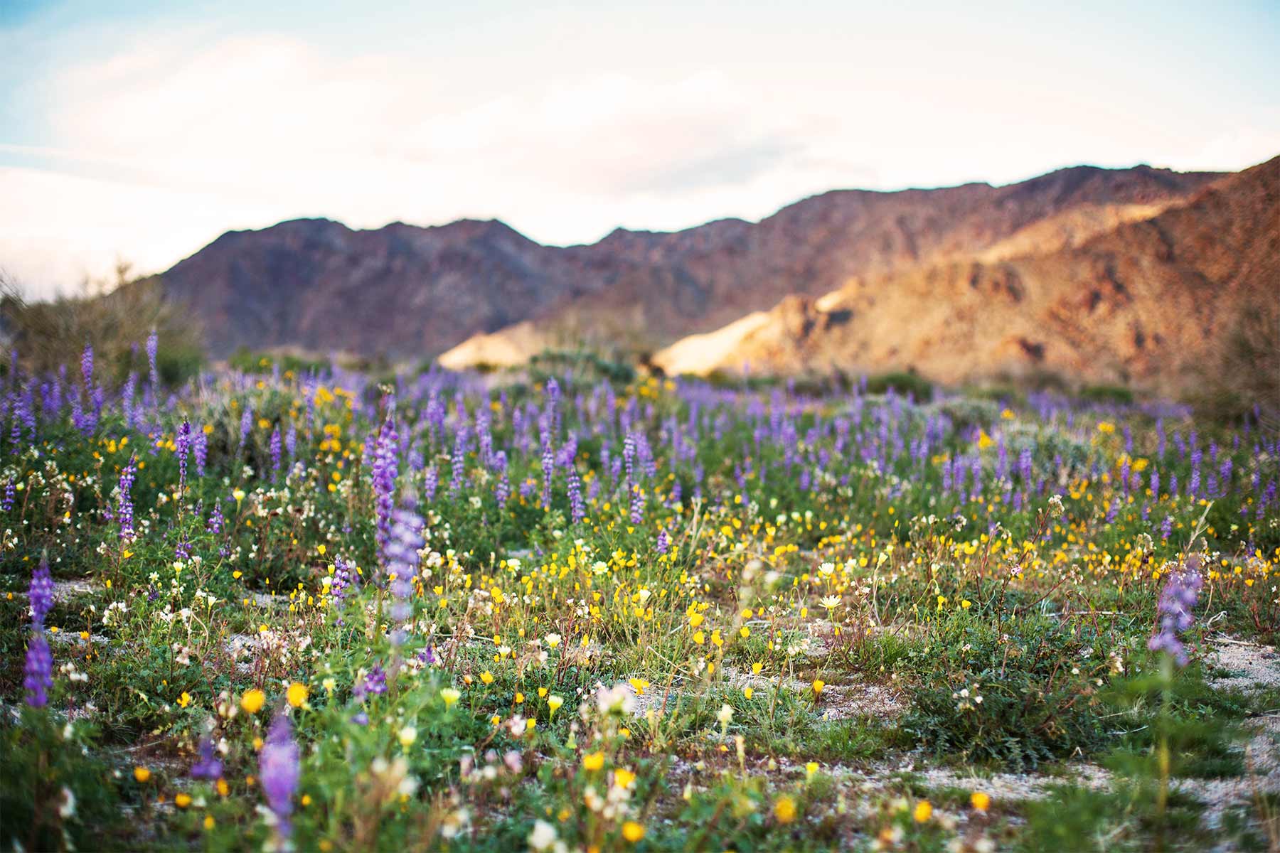
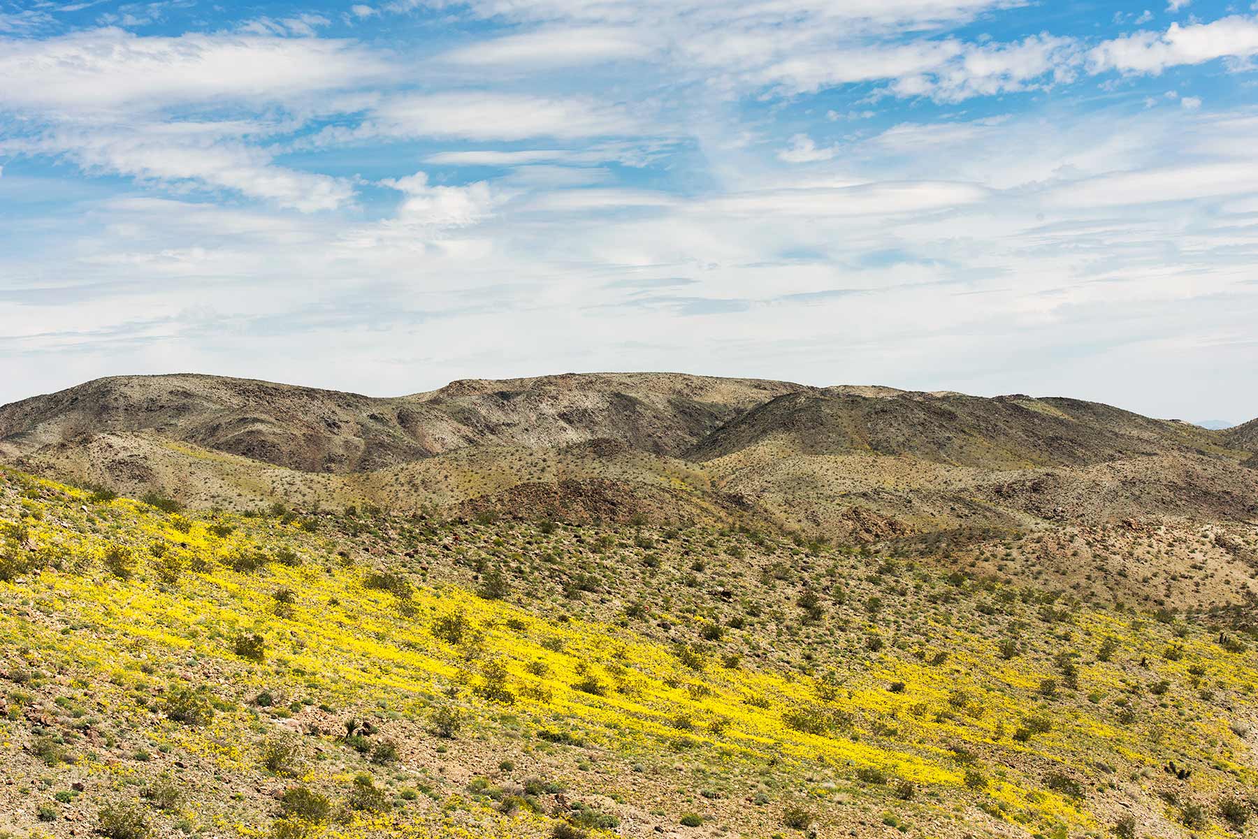
- Best time to visit: Winter and early spring. The park is cooler, the crowds are lighter, and wildflower blooms can be spectacular.
- Summer temperatures exceed 100 degrees. Ground temperatures can reach 180 degrees. Do not attempt midday hikes in summer.
Enter from the West Entrance (Joshua Tree town), not the North Entrance (Twentynine Palms). The West Entrance puts you right into the heart of the best terrain: Hidden Valley, Barker Dam, and the Wonderland of Rocks. The North Entrance drops you into a long stretch of less interesting desert before you reach the good stuff.
Gas, Food, Camping, and Getting Around
There are no gas stations, restaurants, or stores inside Joshua Tree. Fill up and stock up before you enter.

Joshua Tree (town) and Twentynine Palms are the two main gateway towns on the north side. Gas, restaurants, and grocery stores available in both.
Palm Springs is 40 minutes from the park’s south entrance and makes a good base camp for folks who prefer hotels and restaurants.
Campgrounds: 9 campgrounds inside the park. Jumbo Rocks, White Tank, and Hidden Valley are our favorites. Book in advance for the busy season (November-May). Some sites are first-come, first-served.
Getting around: One main road takes you through the park. Any vehicle works on the paved roads. Some backcountry roads require high-clearance 4WD and they mean it. Those roads are nasty.
Closest airport: Palm Springs International (PSP), under an hour to the park entrance.
The Cholla Cactus Garden is best visited in late afternoon, around 4 to 5 PM. The backlighting turns the cholla spines into golden halos. It is one of the most photogenic moments in any national park, and most people hit it midday when the light is flat and harsh.
Sunrise at Hidden Valley. Barker Dam and Wall Street Mill in the morning (same parking lot). Skull Rock for a quick stop. Cholla Cactus Garden in the afternoon. Sunset at Keys View. That covers the park’s greatest hits in one shot.

One Day in Joshua Tree

Two Days in Joshua Tree
Day 1: Same as above. Day 2: Ryan Mountain first thing for the best panoramic views in the park. Arch Rock and White Tank area. Drive Geology Tour Road if you have a 4WD. End the day stargazing at your campsite or any pulloff far from the road.

Three or More Days
Days 1-2 same as above. Day 3: Cottonwood Springs and Mastodon Peak for sunset. Fortynine Palms Oasis in the morning. If you time your trip for spring, add a drive through the wildflower areas between the two deserts. With more time, do a backcountry overnight.

Visiting Joshua Tree? Here’s our favorite hotel near the park.
For stargazing, drive to the east side of the park near Cottonwood or along Pinto Basin Road. The west side picks up light pollution from the Coachella Valley. The east side faces 300 miles of empty desert toward Arizona.
Central Park (Mojave Desert)
The central section of Joshua Tree is where the iconic landscapes live. This is the Mojave Desert side, above 3,000 feet, where the namesake Joshua Trees are thickest and the boulder formations are most dramatic. Most folks spend the majority of their time here.


1. Hike to Barker Dam

Distance 1.1 mi loop Time 1 hr Difficulty Easy
One of the most popular hikes in the park featuring Joshua Trees, cholla cacti, boulder formations, and a seasonal pool of water behind the dam. This is also one of the best spots to see bighorn sheep. The trailhead shares a parking lot with Wall Street Mill.
2. Wall Street Mill

Distance 2.4 mi RT Time 1-1.5 hrs Difficulty Easy
The ruins of an old gold ore crushing mill built by William F. Keys in 1933. Walking around the actual mill feels like a set from a western movie. Along the way you pass rusted-out cars and ruins from the 19th and 20th centuries. The mill is on the register of national historic places. Same parking lot as Barker Dam, so do both on the same stop.

3. Skull Rock

Distance 1.7 mi loop Time 1-2 hrs Difficulty Easy
Rain slowly eroded two hollowed-out eye sockets into this granite boulder over thousands of years. The result looks exactly like a skull. You can park right across the road for a quick photo or walk the 1.7-mile trail from Jumbo Rocks Campground for the full experience. One of the most photographed spots in the park.
4. Hike Ryan Mountain
Distance 3 mi RT Time 2-3 hrs Difficulty Hard
The best panoramic views in Joshua Tree from the summit. The trail is completely exposed with no shade and climbs about 1,000 feet over 1.5 miles. Do not attempt this during peak heat. Start early, bring plenty of water and a snack for the top.

5. Sunset at Keys View
Distance 0.25 mi RT Time 30 min Difficulty Easy
The highest accessible point in the park. On clear days you can see the Coachella Valley, Palm Springs, the San Andreas Fault, Mount San Jacinto, and peaks stretching all the way to Mexico. The sunset here is the stuff of legend. Stick around after dark for views of the sparkling lights of Palm Springs below. 20-minute drive from Park Boulevard down Keys View Road.
6. Hall of Horrors
Distance 0.6 mi Time 30 min-1 hr Difficulty Easy
A short, interactive stop with narrow boulder slots and great scrambling rocks. Family-friendly and fun for kids. Also a popular bouldering spot. Located off Park Boulevard.

7. Arch Rock

Distance 1.4 mi loop Time 1 hr Difficulty Easy
A natural stone arch surrounded by dramatic rock formations that create hallway effects. Great for kids. The loop starts at the Twin Tanks parking lot. Keep your eyes peeled because Arch Rock is easy to miss among all the other striking formations. If you are camping at White Tank, the walk to Arch Rock is much shorter.
8. Rock Climbing

Distance Varies Time Half day-full day Difficulty All levels
Joshua Tree is one of the premier climbing destinations in the country. Over 8,000 routes covering traditional crack, slab, and steep face climbing for all ability levels. Echo Rock (off the Barker Dam Trail) is popular with beginners and advanced climbers alike. Bring your own gear or rent from a shop outside the park. The park hosts Climber Coffee at Hidden Valley Campground on weekend mornings from mid-October through April.

9. Stargazing

Distance N/A Time 1-2 hrs Difficulty Easy
Joshua Tree is a designated International Dark Sky Park. Some of the darkest skies in Southern California. Many folks see the Milky Way for the first time here. The annual Night Sky Festival is typically held in the fall with tickets available in summer. Any campsite or pulloff away from the road will give you great views.
Southern and Eastern Park (Colorado Desert)
Below 3,000 feet, Joshua Tree transitions to the Colorado Desert. Hotter, sparser vegetation, but home to some of the park’s most interesting features including cactus gardens and desert oases.

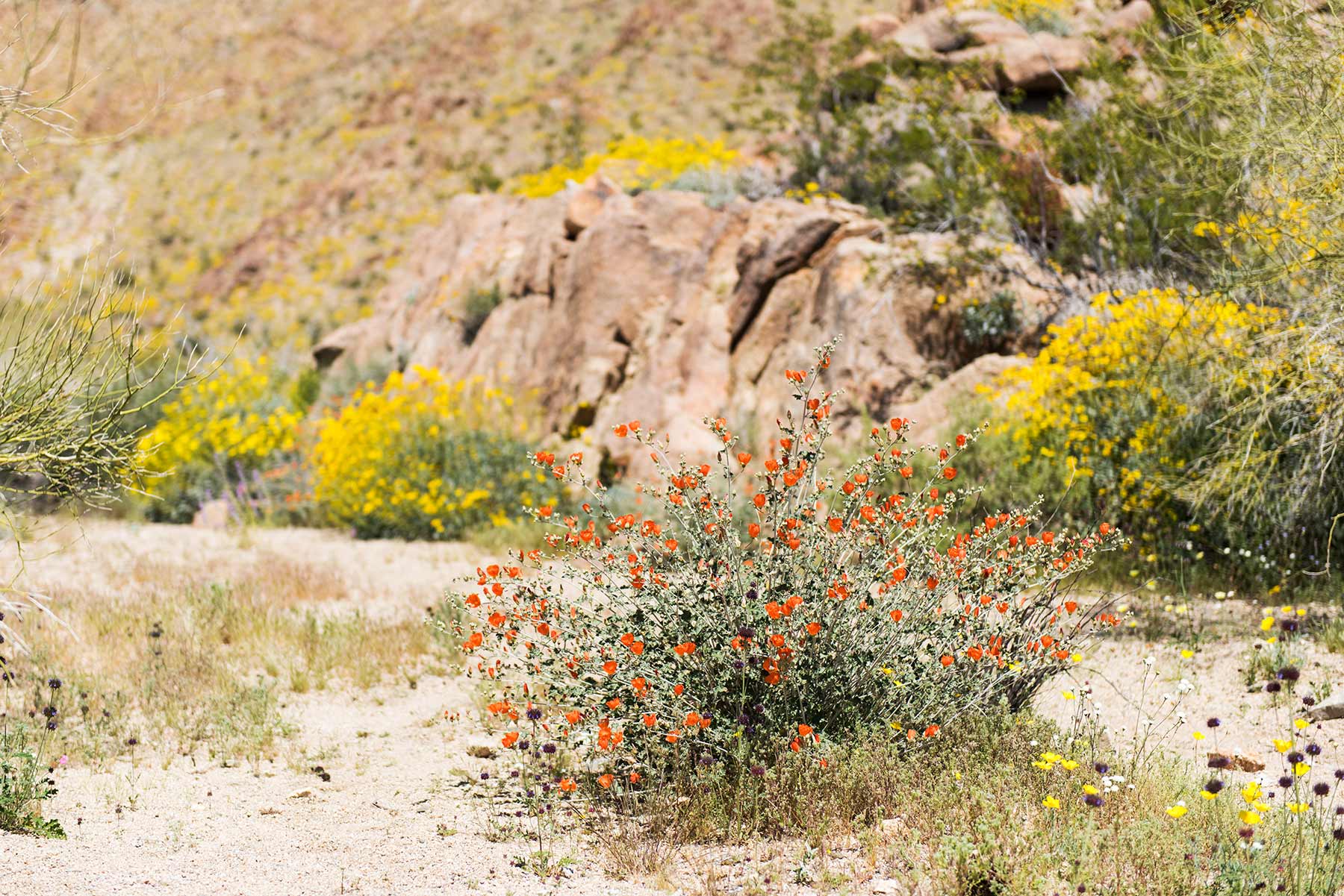
10. Cholla Cactus Garden
Distance 0.25 mi loop Time 20-30 min Difficulty Easy
Thousands of cholla cacti packed densely together right where the Colorado and Mojave deserts meet. The chollas look fuzzy like teddy bears but their spines have backward barbs that are painful and difficult to remove. We speak from experience. Do not touch them. The trail sits in the center of the park and is the best spot to see desert plants and flowers in spring.
11. Mastodon Peak and Cottonwood Springs
Distance 3 mi loop Time 2-3 hrs Difficulty Moderate
Our pick for the best sunset spot in Joshua Tree. The trail passes through dry washes on a gentle incline up to Mastodon Peak. From the top, the sunset views are unbeatable. Starts at the Cottonwood Springs parking lot near the park’s south entrance.
12. Fortynine Palms Oasis
Distance 3 mi RT Time 1.5-2 hrs Difficulty Moderate
Joshua Tree’s most beautiful desert oasis with massive fan palm trees. The trail can be steep in spots and the desert heat makes it tougher than the distance suggests. Do this one at sunrise. Do NOT enter the oasis itself. It is a sensitive biological area with a crucial water supply for the desert ecosystem.
13. Petroglyphs and Pictographs
Distance Varies Time 30 min-1 hr Difficulty Easy
Ancient rock art scattered across the park on surfaces covered in 2,000-year-old desert varnish. Very little is known about the societies that created them. The markings look almost alien. Do not touch the rock art. Increased preservation efforts are underway.
14. Geology Tour Road
Distance 18 mi driving Time 2-3 hrs Difficulty Easy (first section), Hard (4WD section)
An 18-mile road that takes you away from the Joshua Trees and into desolate terrain that looks more like Death Valley. The first section is passable for most cars. The second portion requires 4WD high-clearance and features rutted, sandy segments. Do not attempt the second section without proper equipment.
Frequently Asked Questions
What is the best hike in Joshua Tree?
Ryan Mountain for views. Barker Dam for variety. Fortynine Palms Oasis for something different. If you only do one, make it Ryan Mountain and start early.
Can I bring my dog?
Dogs are not allowed on trails in Joshua Tree. They are allowed where cars can go, meaning paved roads and parking areas. Check specific park rules before bringing your dog.
Is Joshua Tree safe?
The park has seen an increase in missing hikers in recent years due to extreme heat, unpreparedness, and unforgiving terrain. Always use the buddy system, bring more water than you think you need, tell someone where you’re going, and do not hike in the heat of the day during summer.
Frequently Asked Questions
A 7-day vehicle pass costs $30. Walk-in or bicycle entry is $15 per person, and motorcycles pay $25. The $80 America the Beautiful pass covers entry.
March through early May is the prime window with daytime temps in the 70s to 80s, occasional wildflower blooms, and comfortable camping conditions. October and November are nearly as good with warm days and thinner crowds. Avoid June through September when temperatures regularly hit 100 to 110 degrees.
No timed entry, vehicle reservations, or parking tags required. Campground reservations are important though. Black Rock, Jumbo Rocks, and other campgrounds accept reservations on Recreation.gov ($30 to $35 per night) and fill up for spring weekends months in advance.
You can hit the highlights in 1 full day: Keys View, Skull Rock, Cholla Cactus Garden, Arch Rock, and a short hike. Ideally spend 2 days with a night of camping. The night sky is the real draw, and you have not fully experienced Joshua Tree until you have seen the Milky Way arc over the rock formations.
The nearest airport is Palm Springs International (PSP), about 45 miles and 50 minutes from the West Entrance via CA-62 East. From LAX, it is about 130 miles and 2 to 2.5 hours via I-10 East to CA-62 North.
The nearest airport is Palm Springs International (PSP), about 45 miles from the West Entrance and roughly 50 minutes via CA-62 East. From LAX, it is about 130 miles and 2 to 2.5 hours via I-10 East to CA-62 North. The South Entrance is accessed via I-10 at Cottonwood Spring Road.
What to Bring to Joshua Tree
Gear we recommend for Joshua Tree. Affiliate links support our work at no cost to you.
Affiliate disclosure: Some links on this page earn us a small commission at no extra cost to you. We only recommend gear we actually use.